|
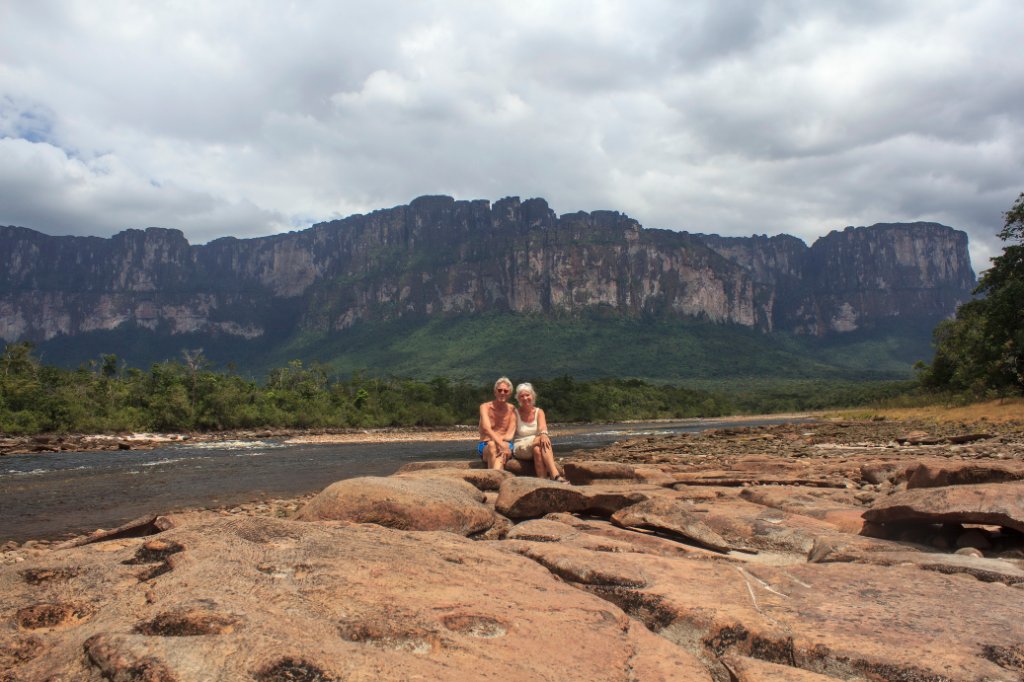 |
| Rio Carrao with Auyantepui in the background | |
| Latitude: N 6°3'42,72" | Longitude: W 62°38'32,30" | Altitude: 438 metres | Location: Mayupa | State/Province: Estado Bolívar | Country: Venezuela | Copyright: Ron Harkink | See map | |
| Total images: 70 | Help | |